


About the park
Region: Southwest
State: Utah
Established ranking: 31st
Visitor ranking (2025): 29th

Our website relies on donations and affiliate links. If you click a link taking you to another website, and make a purchase, we may gain a small commission - at absolutely no cost to you. This helps us expand the website, so we can continue doing what we love!
Utah's biggest but least visited National Park, Canyonlands is a secluded desert playground that attracts hikers, mountain bikers and 4x4 owners who want a taste of the rugged American Southwest. The landscape was created by both the Colorado and Green rivers, and their tributaries, which splits the park into three main districts: Island in the Sky, the Needles, and the Maze. The majority of visitors experience the Island in the Sky area that consists of a large mesa, which can be fully explored via the 34 mile round trip scenic drive stretching from the visitor centre down to Grand View Point Overlook, and up to Upheaval Dome.
The Needles is also available for most visitors from road to the southeast, although with trails more concentrated & primitive. Meanwhile The Maze is isolated, requiring previous experience backpacking, and often subject to acquisition of back-country permits. Most hike within Island in the Sky, and its relatively close proximity to the town of Moab allows for restocking of supplies, but also access to numerous tours and activities in Canyonlands. White Rim Road offers 4x4 driving (with a permit required if you're using your own vehicle) and the Colorado River hosts rafting, with the Cataract Canyon section offering up to class V rapids.
Whatever activities you choose, the natural beauty of Canyonlands will surely keep tempting you back. As with all the parks in the southwest, the changeable temperatures and strong sun make it crucial all visitors come prepared. Bring plenty of water, sun protection, and plan head, making sure to hike during the early or late hours where possible.
Can't miss
Sunset at Dead Horse Point
While technically not part of Canyonlands National Park, this overlook at Dead Horse Point State Park provides one of the best sunset spots, capturing the shadows as they lengthen across the canyon. The entry fee is $20 per vehicle but the view is more than worth it!

Off-roading on White Rim Road
For those coming to Canyonlands without a 4x4, perhaps the best way to view the park is with a guided off-road tour out of Moab. Stopping at Gooseneck Overlook and Musselman Arch, this half-day tour reaches some of the harder to reach areas of the Island in the Sky district.

Rafting on the Colorado River
Most people take in the canyon from over 1500ft above the river that created it. White water rafting gives a completely different perspective of the park, while also giving a welcome cool breeze from the dry summer heat.

Explore the park

Click to expand


Points of interest
Trails
As ever, we recommend conducting some of your own research on hikes as well as talking to park rangers in order to find less populated trails that may be of interest, helping to prevent overcrowding and erosion of the park's best known routes. But here are a few suggestions to consider to get you started...

Gentle
Grand View Point
Grand View Trail Trailhead
Length (roundtrip): 2.0 miles
Approximate duration: 1-2 hours
Maximum elevation: 6255 ft
Max-Min elevation change: 160 ft
Canyonlands probably isn't the go to park for easy hikes. But this one is probably as close as you can get. Well maintained and accessible throughout the year, it provides great views from 6,080 ft. Initially the trail is paved to the first lookout point but quickly after that there are some steps, so be conscious of this if anyone in your party has accessibility requirements.
The trail runs along the peak of the rocky outcrop that extends into the canyon, but it doesn't require you to get too close to any edges whilst on the main trail, so even those with a fear of heights should feel mostly comfortable.
From the final overlook, you can see the La Sal Mountains, White Rim Road, The Needles, and glimpses of the Colorado River that has carved this amazing landscape!

Moderate
Neck Spring
Neck Spring Trail Trailhead
Length (roundtrip): 5.8 miles
Approximate duration: 3-4 hours
Maximum elevation: 5985 ft
Max-Min elevation change: 300 ft
A loop trail is always a pleasant way to see a national park, which is exactly what Neck Spring offers. Dotted with flora, there are plenty of signs of previous life as fences and water troughs can be found along the route.
Whilst the views aren't the primary attraction of this hike, their expansive nature makes them impressive nonetheless. There is more to appreciate as you navigate a series of smaller canyons, and scramble a relatively long series of rocks which may be challenging for some. This is the steepest part of the trail and where most of the elevation change of the hike lies.
The trail into the loop starts off very close to Shafer Canyon Overlook, so make sure to stop off at that viewpoint before or after Neck Spring for a view east of Canyonlands!

Demanding
Murphy Loop
Murphy Trail Trailhead
Length (roundtrip): 10.8 miles
Approximate duration: 5-7 hours
Maximum elevation: 6250 ft
Max-Min elevation change: 1400 ft
This one is definitely not for the inexperienced. Isolated and in harsh conditions throughout the year, nearly 11 miles of hiking with elevation change is a challenge for many.
The hike starts on the main mesa of Islands in the Sky, which you drop off of into the canyon after about a mile. The way out is back along the same route so bear that in mind when pacing yourself. After switchbacks, loop around clockwise or counter-clockwise, with counter probably the slightly easier route and great views early on.
As you start to walk back, you travel along Murphy Wash, a section with some signs of erosion but feels a little more secluded. Throughout the hike you can absorb the quiet and feeling of the isolation of Canyonlands.
Where to stay
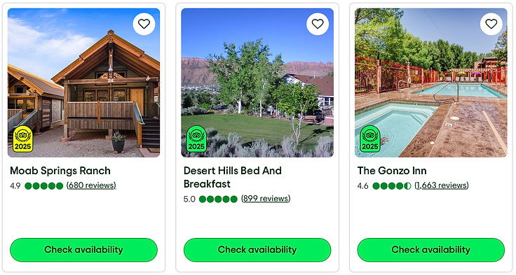
Hotel
picks
Rental
options

Campsite
choices
When to visit
We recommend:
Apr-May or Sept-Oct, as temperatures in the 70's and 80's allow for more hiking and exploration

Itineraries


